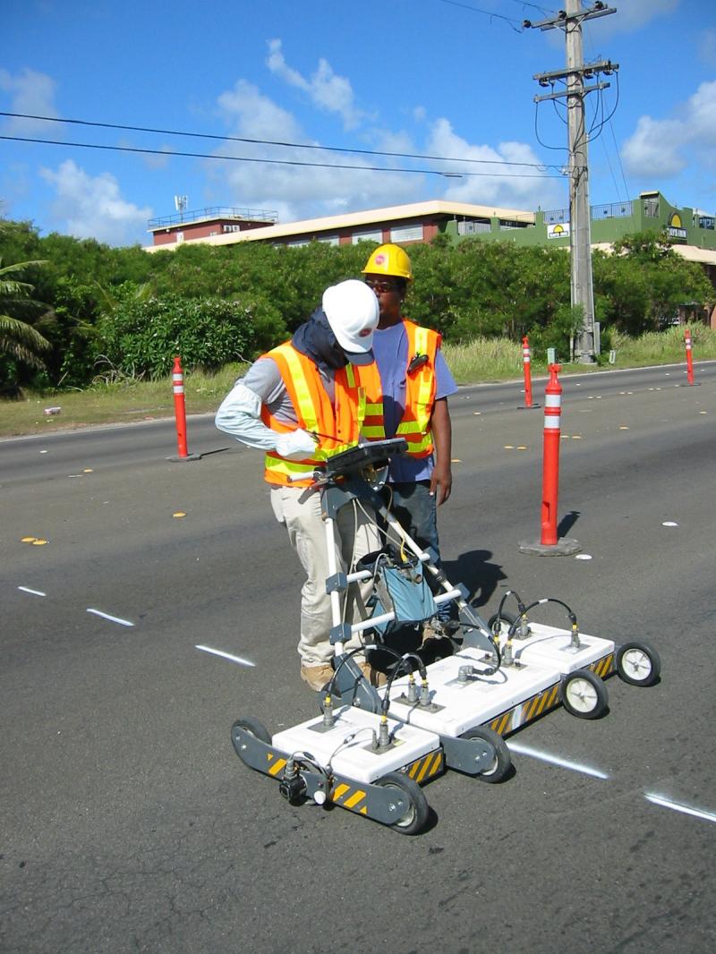
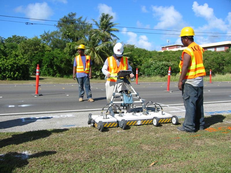
One of the biggest problems in new construction today is unmapped existing underground utilities. When damage occurs, it causes major cost over runs, change orders and critical delays to project completions. Here at ICC, we provide a utility locate and mapping service to solve these problems.
ICC is one of the leading companies in the world that uses 8 Channel radar technology to locate underground utilities and generate sophisticated mapping diagrams. The Ground Penetrating Radar (GPR) equipment that we use is an advanced design, state-of-the-art radar locator. It has multiple frequencies with antenna array features that greatly enhance the efficiency to detect under-ground utilities. It is compatible to the Geographic Information System (GIS). We are able to obtain up to 8 section views for every 2 meters. The data processing software provides images with different depth levels according to our customers needs. This enables us to identify different utilities at different depths.
For a project designer or a Utility agency, the ICC utlity locate and mapping service takes the guess work out of planning a project. As a contractor, imagine how much faster you could schedule your trenching if you knew, in advance, the location and depth of all utilities.